Many property owners assume a land survey comes with an expiration date. It does not. But that does not mean an old survey is always good enough. A survey’s usefulness depends on what has changed on the property, what the legal records show, and what the survey is being used for. Age alone is not the deciding factor. In Salt Lake City, where development is active and neighborhoods are changing fast, understanding when a survey is still reliable and when it is not can save you real time and money.
A Land Survey Does Not Expire, But Its Accuracy Can Change
In Utah, there is no law that sets an expiration date on a land survey. A survey prepared five years ago or fifteen years ago is still a legally prepared document. It does not become void just because time has passed.
But accuracy is a different matter.
A survey reflects conditions on the ground at the time it was completed. When those conditions change, the survey may no longer match reality. Things that can make an older survey less reliable include:
- New construction on the property or on adjacent parcels
- Lot splits or lot merges that change the shape or size of a parcel
- Road widening or right-of-way adjustments by the city or county
- Utility installations that cross the property after the survey was done
- Changes to neighboring improvements that affect boundary relationships
The legal document stays valid. But whether it is still appropriate for your current purpose is a separate question. That is the question worth asking before you rely on an older survey for a new project or transaction.
Situations That May Require a New Survey
Some situations make a new survey the smart choice regardless of how old the existing one is.
Renovating or adding structures. If you are adding a garage, an accessory dwelling unit, or any structure that sits close to a property line, you need current boundary information. An older survey may not reflect changes that affect where you can legally build.
Selling or refinancing property. Buyers and lenders often want current documentation. A survey from ten years ago may not satisfy their review requirements, especially if visible changes have occurred on the site.
Resolving a boundary disagreement. If a neighbor dispute arises, an older survey may be questioned. A fresh survey based on current records and monument verification carries more weight in those conversations.
Applying for permits. Salt Lake City permit applications for certain projects require accurate site plans. If the information on file does not match current conditions, the permit process can slow down.
Redevelopment in rapidly changing neighborhoods. Salt Lake City has seen significant growth in many areas. Nearby road projects, new utility corridors, and adjacent development can all affect how a property sits in relation to its surroundings.
Commercial property transactions. Commercial deals typically involve more detailed documentation requirements than residential ones. An older survey may not meet the level of detail expected by the parties involved.
How to Evaluate Whether Your Existing Survey Is Still Reliable
Before ordering a new survey, it is worth checking whether the one you have is still useful. Here is how to evaluate it.
Compare the survey with current site conditions. Walk the property and look for anything that was not there when the survey was done. New fences, structures, driveways, or utility installations are all worth noting.
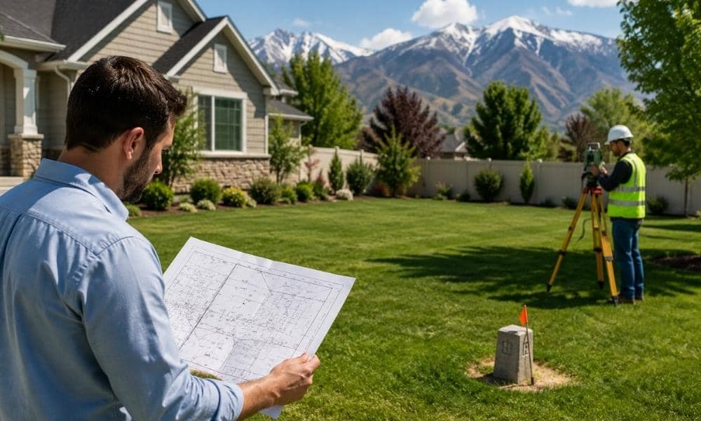
Check whether survey monuments are still present. Monuments are physical markers set by the surveyor to mark boundary corners. If they have been disturbed, removed, or buried, the survey is harder to verify in the field.
Review changes in deeds, plats, or easements. If the property has been through any legal changes since the survey was done, those changes need to be reflected in the documentation you are relying on.
Look at adjacent parcels. Changes on neighboring properties can affect your boundary relationships. A new building, driveway, or fence installed by a neighbor after your survey was completed may be worth reviewing with a licensed surveyor.
Ask a surveyor to verify before relying on older records. If you are unsure whether the existing survey is still appropriate, a licensed surveyor can review the document and the current conditions before you commit to using it.
Why Lenders, Title Companies, and Buyers May Request an Updated Survey
Different organizations have different standards for what they will accept.
A lender financing a residential purchase may accept a survey that is a few years old if nothing visible has changed. A title company processing a commercial transaction may require documentation that reflects current conditions more precisely. A buyer doing careful due diligence may want a fresh survey even when no one requires it.
This is not about legal expiration. It is about risk tolerance. The older a survey gets, the more opportunity there has been for conditions to change. Organizations that carry risk in a transaction want to reduce uncertainty. A current survey does that better than an older one.
This matters especially in Salt Lake City, where municipal improvements, utility upgrades, and new development have been active in many neighborhoods. A survey completed before a nearby road project or subdivision change may not reflect conditions that are now relevant to your transaction.
Getting the Most Value From Your Survey Over Time
A land survey is more useful when you treat it as a long-term document rather than a one-time requirement.
Store digital and paper copies safely Keep at least one printed copy and one digital copy in separate locations. Surveys are hard to replace and may be needed years after the original transaction.
Keep records of property improvements Note the date and location of any structures, fences, utilities, or landscaping added after the survey was completed. This context helps any future surveyor understand what changed and when.
Protect survey monuments when possible If you know where boundary monuments are located, avoid disturbing them during landscaping, grading, or construction work. Disturbing monuments can create complications for future surveys.
Consult a licensed surveyor before major property changes Before you build, fence, grade, or subdivide, ask a licensed surveyor whether your existing documentation is sufficient or whether updated information is needed.
Good recordkeeping reduces delays in future permit applications, refinancing, and resale. It also means you spend less time and money answering questions that your existing documents could have already answered.