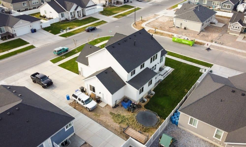
Splitting one property into two or more lots takes more than drawing a fresh line on a map. Each new lot has to be measured, described, and shown in a way the city can review. A subdivision survey gives you that measured picture. It records where the current boundaries sit and shows how the proposed lots would fit, which is the base information the city leans on during subdivision review.
A survey by itself won’t get a split approved. Zoning rules, street access, and utility service all weigh in too. In Salt Lake City, subdivision applications and plats have to meet the local standards that apply to the property. Careful survey work sets that whole process up on solid footing.
Starting With the Ground, Not Just the Deed
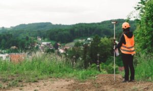
A subdivision survey starts by pinning down the parcel you already have. Before anyone proposes new lines, the surveyor confirms where the real boundaries are. That means checking recorded information for the parcel and comparing it against what sits on the ground.
Old deeds and county maps give a starting reference, but they don’t always match the physical corners. Surveyors look for existing monuments, which are the physical markers like iron pins or capped rods left from earlier survey work. They also pull recorded plats and prior surveys tied to the land. When the record and the field evidence line up, you have a boundary you can trust.
Relying only on a deed or an online parcel map can point you wrong. Those sources can be off by several feet. If you plan a split around a line that turns out to be in the wrong place, the whole layout can fall apart later.
Testing Whether the Proposed Lots Work on Paper and on the Site
Once the boundary is set, the survey helps check whether the lots you have in mind actually fit. A split that looks simple on a sketch doesn’t always hold up once you measure it. The survey turns a rough idea into real dimensions and shows where each new line would land against what’s already there.
A few things get tested at this stage:
- Lot size and shape for each proposed piece
- How the new lines sit next to existing buildings, driveways or fences
- Street frontage, meaning how much of each lot touches a public road
- Buildable area, or the usable space left after setbacks and other limits
This is where a clean-looking split can run into trouble. Salt Lake City’s subdivision standards cover things like frontage, buildable area, minimum lot size and lot width under the zoning district that applies. If a proposed lot comes up short on any of those, it may not qualify as drawn. Measuring early tells you that before you’re deep into review.
Bringing Easements, Streets and Existing Improvements Into the Picture
A lot split has to account for more than the outer boundary. Some of the things that shape a split aren’t obvious from the curb. Easements are a good example. An easement is a recorded right that lets someone else use part of your land, like a utility company that runs a line or a neighbor who shares a driveway.
A new lot line drawn straight through an easement can create problems for future use. The survey brings these details onto one drawing so they can be weighed together. That includes nearby streets and rights-of-way, existing buildings, other improvements and any utility or drainage features on the site. Salt Lake City’s preliminary subdivision requirements ask applicants to identify existing and proposed conditions like these, including easements, streets, buildings, utilities and drainage information.
Seeing all of it at once matters. A proposed line might work on size alone but still cross a drainage path or leave a building on the wrong side. Checking the lines against real site conditions helps the layout hold up.
Turning Survey Measurements Into a Recordable Lot Configuration
The measured work eventually becomes the plat that gets recorded. A subdivision survey doesn’t stop at field readings. Those measurements feed into the plat, which is the official map that shows the new lots and their dimensions. For that map to be accepted, the math and the boundary work have to be exact.
The final plat shows each proposed lot boundary with its measured lengths and angles. It also carries monument information so the corners can be found and the boundaries retraced later. Salt Lake City requires this kind of survey and mathematical detail on final plats, including the information needed to locate monuments and retrace both interior and exterior lines.
Consistency counts here too. The lots on the final plat should match what was reviewed and approved earlier. When the approved plan and the final plat tell the same story, recording tends to go without a hitch.
How Early Survey Work Can Reduce Mid-Process Surprises
Bringing survey work in early is the simplest way to avoid backtracking. Most costly redesigns come from information that shows up too late. A boundary that sits differently than expected. An easement no one planned around. A lot that falls just under the width it needs.
Early survey data gives everyone a shared base to work from. Planners, engineers and the property owner all see the same measured picture of the site. That makes it easier to shape a lot layout that responds to real conditions instead of guesses.
None of this promises approval. A lot split still goes through the city’s review, and the standards that apply still have to be met. What a subdivision survey does is cut down on the surprises that force a proposed layout back to the drawing board, and that alone can save weeks.
Frequently Asked Questions
Is a subdivision survey the same as simply splitting a property in two?
No. Dividing property into lots can involve survey work, zoning standards and recording steps set by the local government. The exact process depends on where the property sits, how many lots you want and the rules that apply. The survey is one piece of it, not the whole job.
Can a subdivision survey reveal problems before a lot split application is submitted?
It can flag survey-related issues that affect the layout, like existing boundaries, monuments, easements, buildings or tight dimensions. A land subdivision survey won’t catch everything, though. Some questions still need review by city agencies or other qualified professionals.
Does a subdivision survey determine where a new lot should be created?
Not on its own. A subdivision survey gives accurate measurements that support lot design, but it doesn’t decide whether a proposed lot will be approved. Local zoning and subdivision rules apply on top of the survey work.